Geology From Above
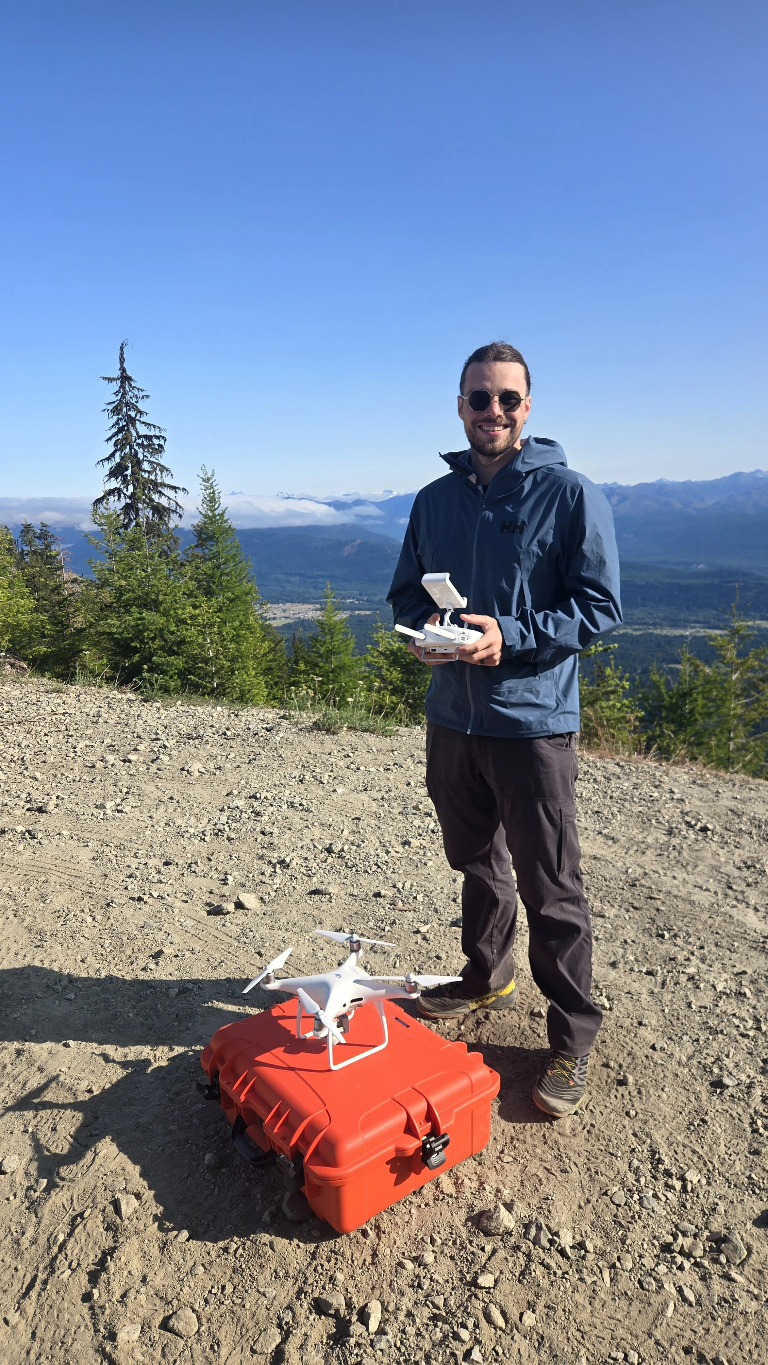
In early June, I took part in an exciting photogrammetry project in Washington state, with a focus on creating high-resolution 3D models of remote rock outcrops. These features are often difficult or dangerous to reach on foot, so we used drone technology to capture detailed imagery from above. I was able to fly preplanned routes over multiple sites to collect hundreds of overlapping images that were eventually stitched together to create highly accurate 3D representations of the area.
The models I generated will act as visual tools for students and instructors during research projects and classes alike. For example, students can analyze rock formations virtually to learn about different geologic processes without the need to be on site. This project not only contributes to safer and more accessible fieldwork, but also showcases how we can work with emerging technology, transforming how we study the natural world.
All of this work was done on federal public lands. It is vital to protect these lands for the future of our planet.